Discover games
Summary
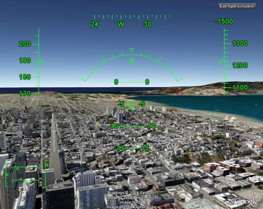
The Google Earth flight simulator is a flight simulator that uses Google Earth satellite images as the ground for a more realistic experience. Depending on the system, it can be accessed by pressing Control+Alt+A, Control+A, or Command+Option+A then pressing enter. After this feature has been activated at least once it appears under the tools menu. Since v4.3, the option is no longer hidden by default. Currently, only the F-16 Fighting Falcon and the Cirrus SR-22 are the only aircraft that can be used, in addition to quite a few airports.
More From Google
-

Pac-Man: Halloween 2025 Edition
-

Catch Pokémon
-

Google: Squid Game
-

Magic Cat Academy 3
-

Rise of the Half Moon
-

Celebrating Popcorn
-

The Most Searched Playground: Paris 2024
-

GenDino
-

The Most Searched Playground
-

Celebrating Pani Puri
Games metadata is powered by IGDB.com
Google Earth Flight Simulator News
-
 Culture
The Creators Of Pokémon Go Mapped The World. Now They’re Mapping You
Cecilia D'Anastasio & Dhruv Mehrotra -
The 12 Best PC Virtual Reality Games
Kotaku Staff