Discover games
Summary
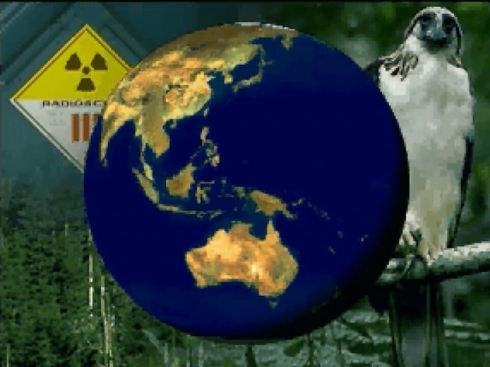
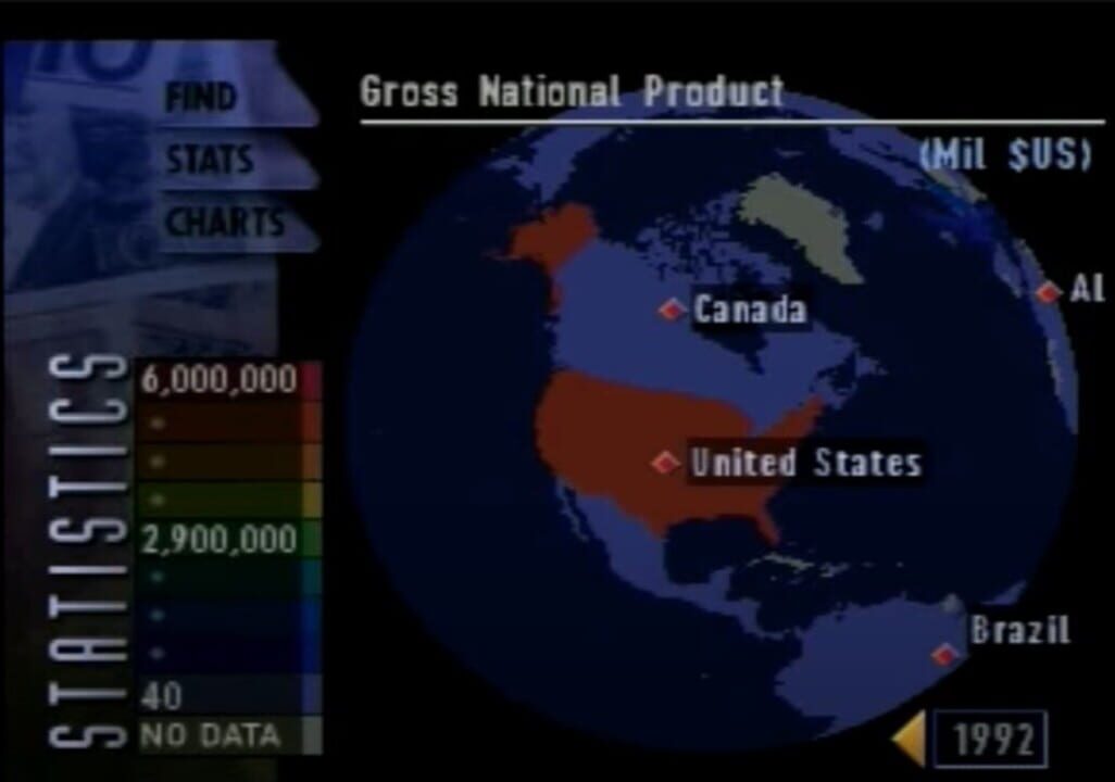
The World Isn’t Flat. Why Should Your Atlas Be? Multidimensional Imagery and Navigation – 3D spinning globes – Nine zoom levels of detail – Thousands of satellite images – 3D flights Integrated Geographical Approach – Environmental globe – Physical globe – Political globe Interactive Multimedia Exhibits – Satellite photos of major cities – Dozens of video documentaries – Time lapse photography – Thousands of statistics Examine our world in 3 different visual contexts – environmental, physical and political.
Community
Games metadata is powered by IGDB.com